Mission
The Mission of the Geospatial Center at Stony Brook is to offer imaginative and unique Geographical Information System (GIS) and Remote Sensing-related services for SBU students, faculty, researchers, and the surrounding community.
We offer an undergraduate minor and an advanced graduate certificate through the School of Marine and Atmospheric Sciences.
Research
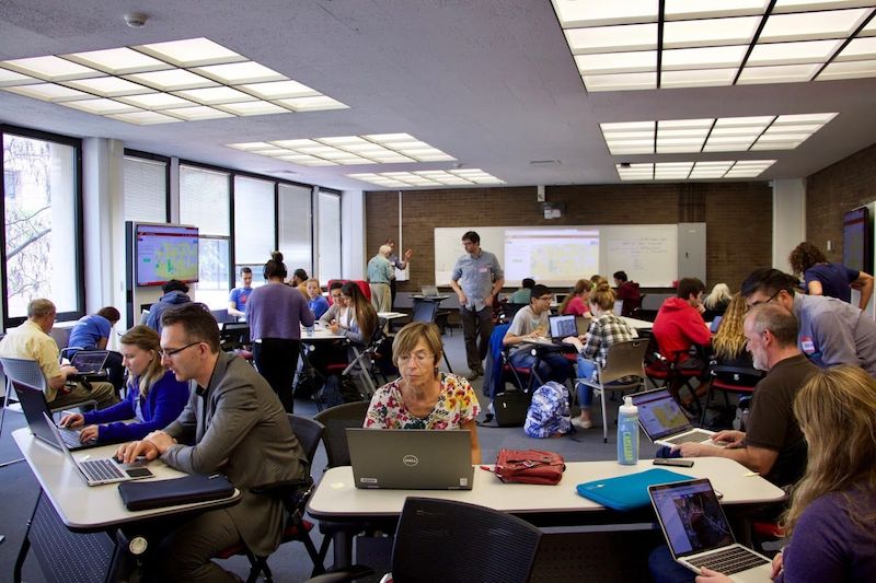
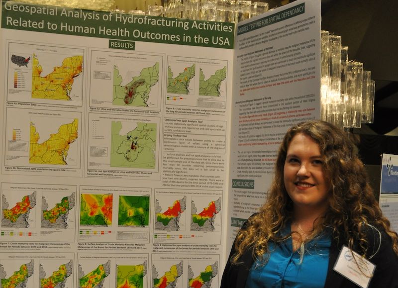
Research is a fundamental part of the Stony Brook GIS learning experience. Students have a variety of opportunities both in and out of the classroom to conduct independent research.
What is GIS?
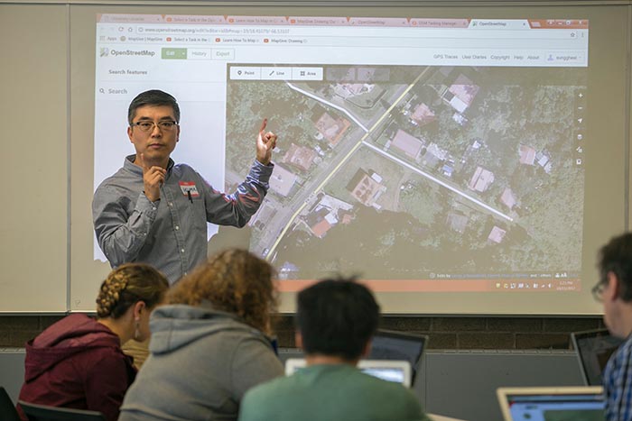
Geographic information systems (GIS) lets us visualize, question, analyze, and interpret data to understand relationships, patterns, and trends. GIS benefits organizations of all sizes and in almost every industry. There is a growing interest in and awareness of the economic and strategic value of GIS.